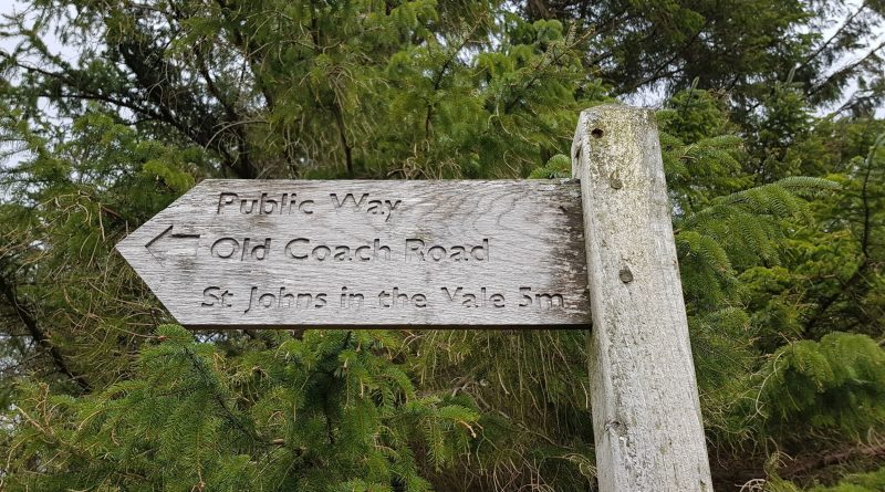
The Old Coach Road
The Old Coach Road
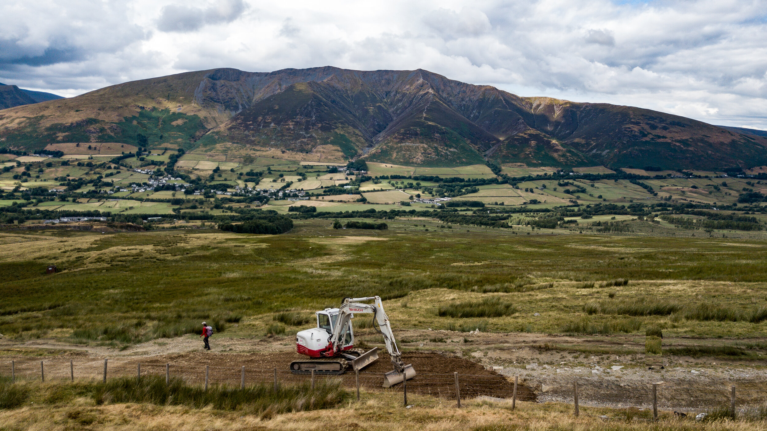
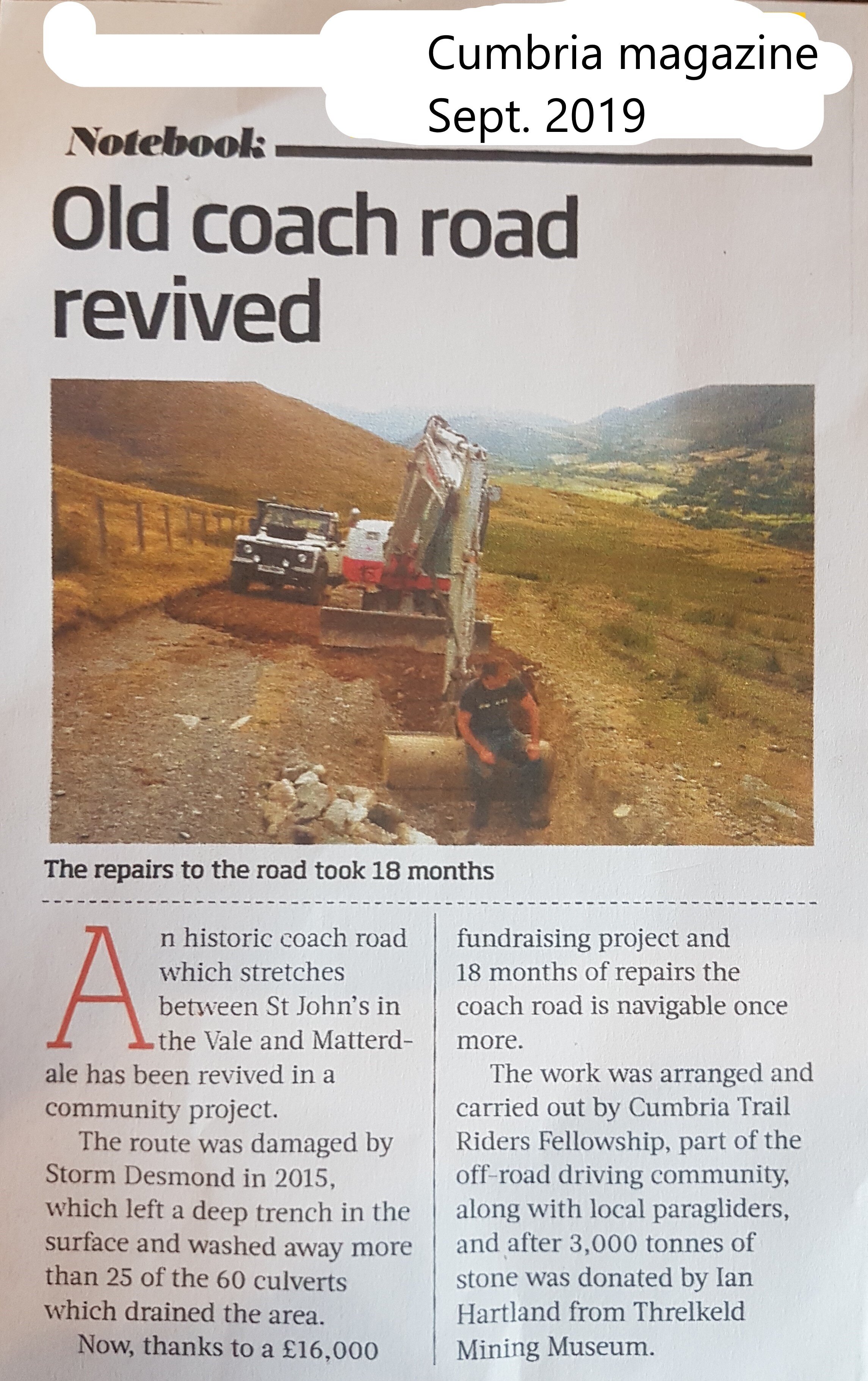
The ‘Old Coach Road’ is approximately 8 km of unsealed unclassified county road in the parishes of St. John Castlerigg & Wythburn, Threlkeld, and Matterdale. It crosses the boundary of both Allerdale (U2236) and Eden (U3132) Districts of Cumbria County. It passes through an Environmentally Sensitive Area, for a short distance crosses a Site of Special Scientific Interest, and reaches a maximum altitude of 437 metres (1436 ft).
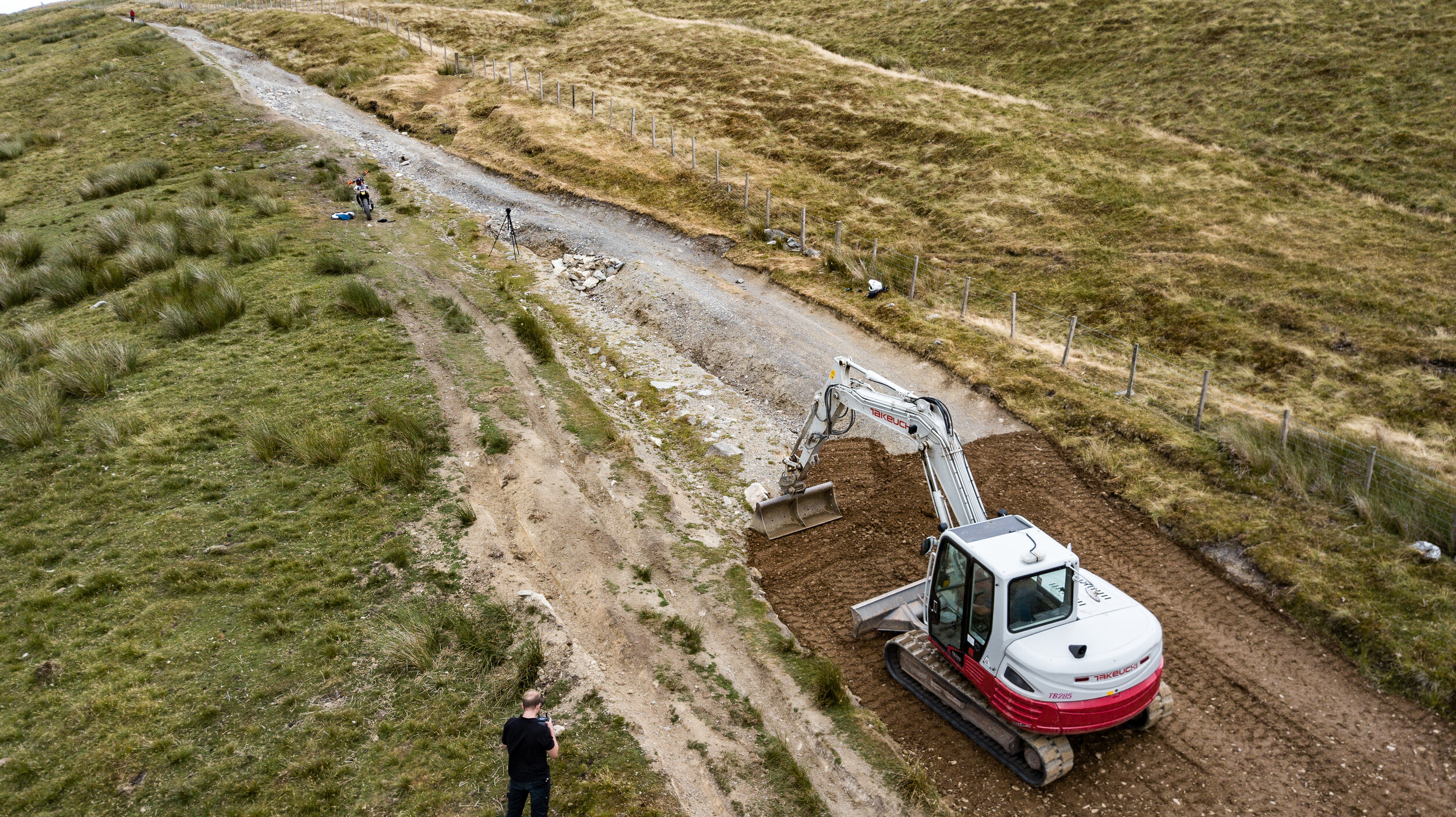
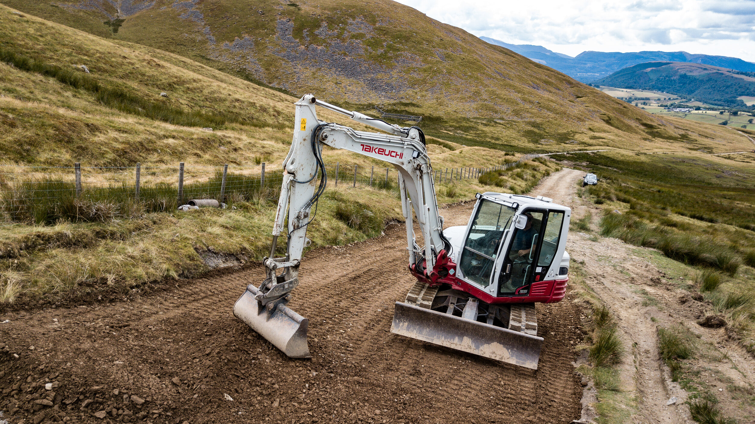
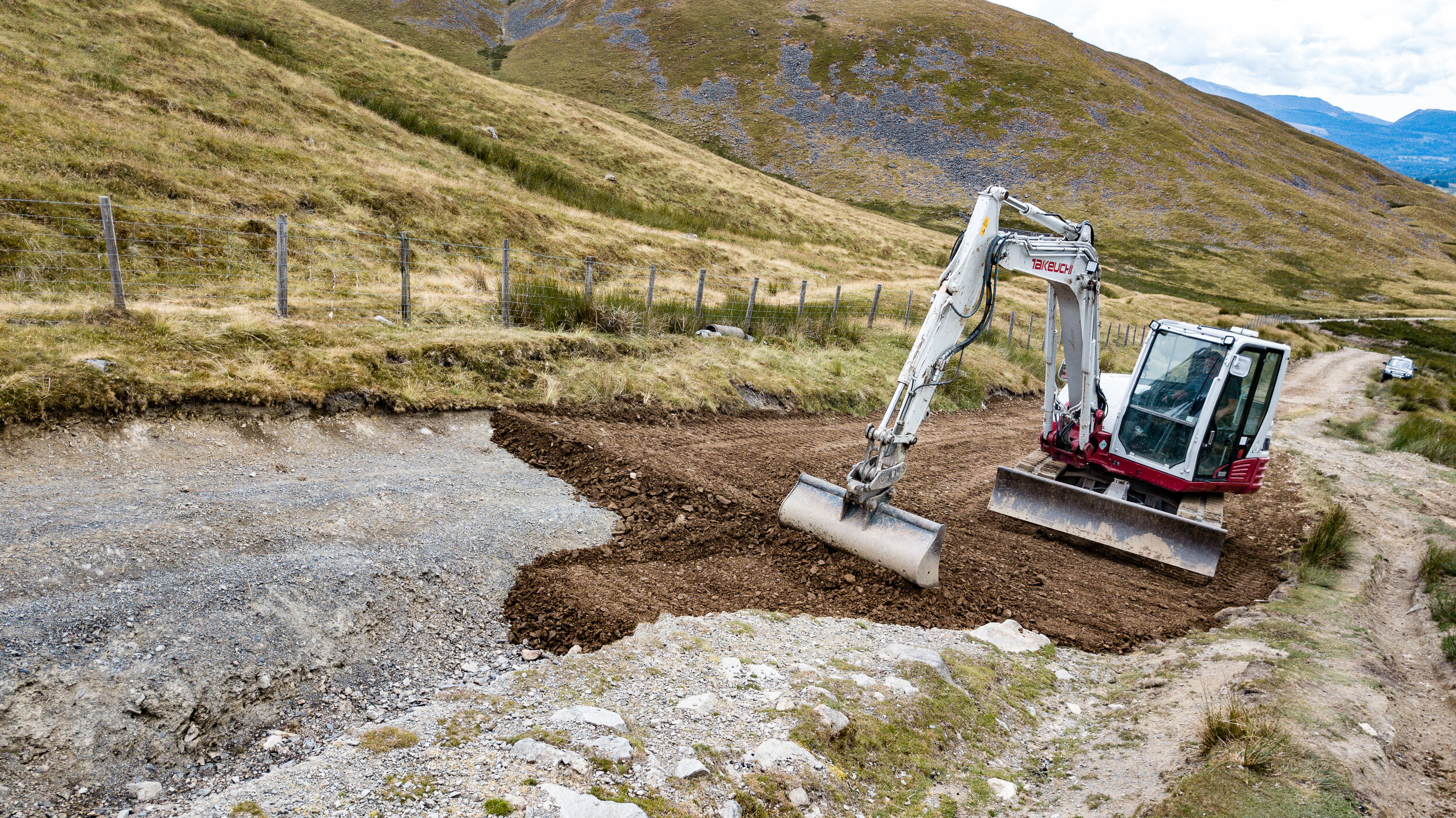
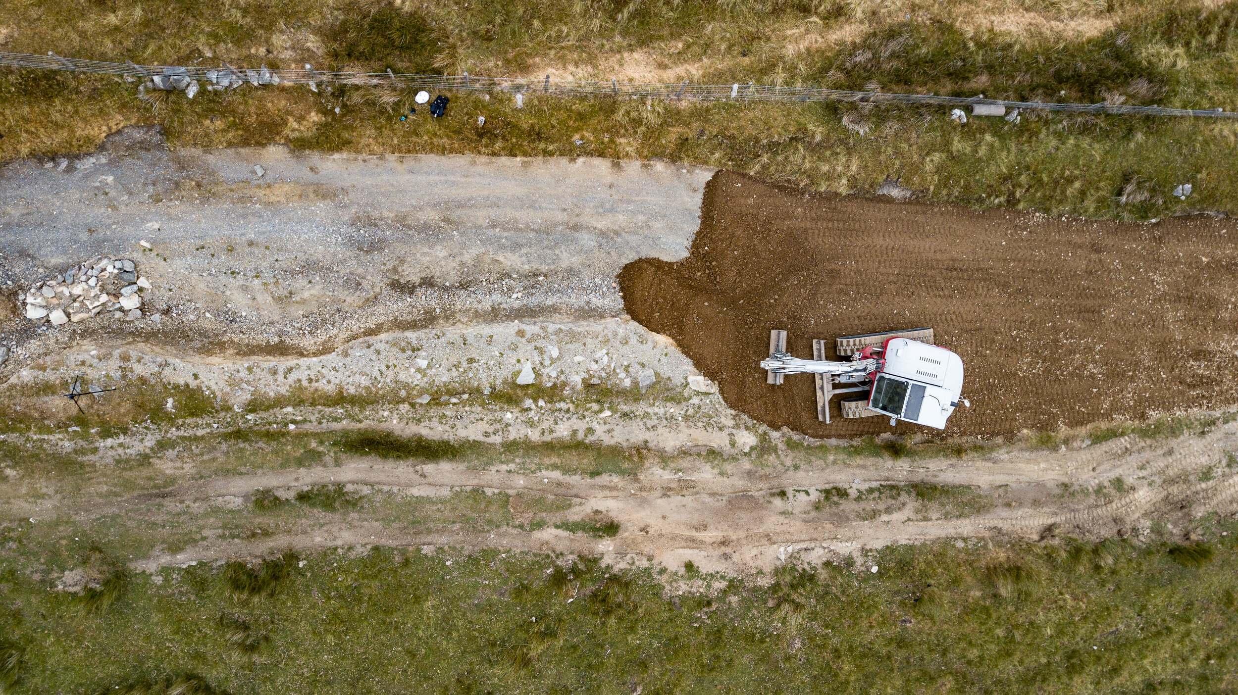
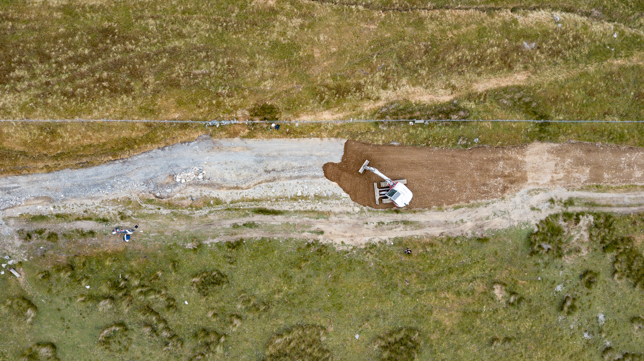
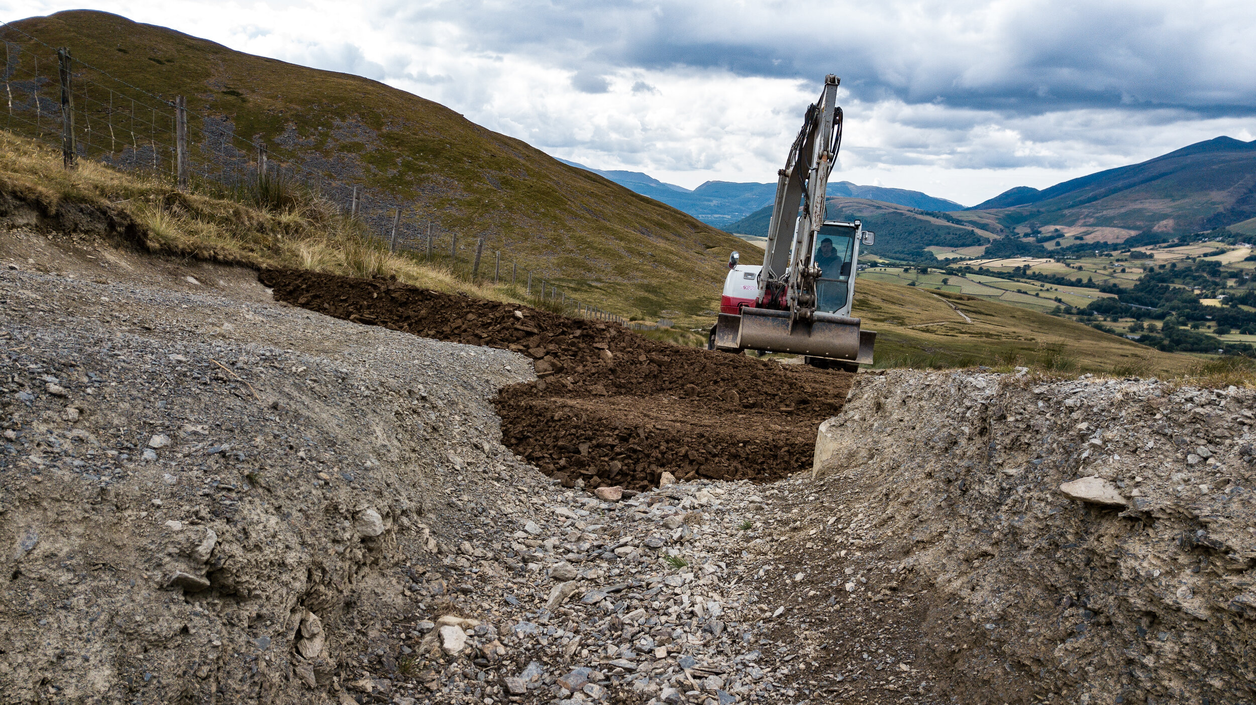
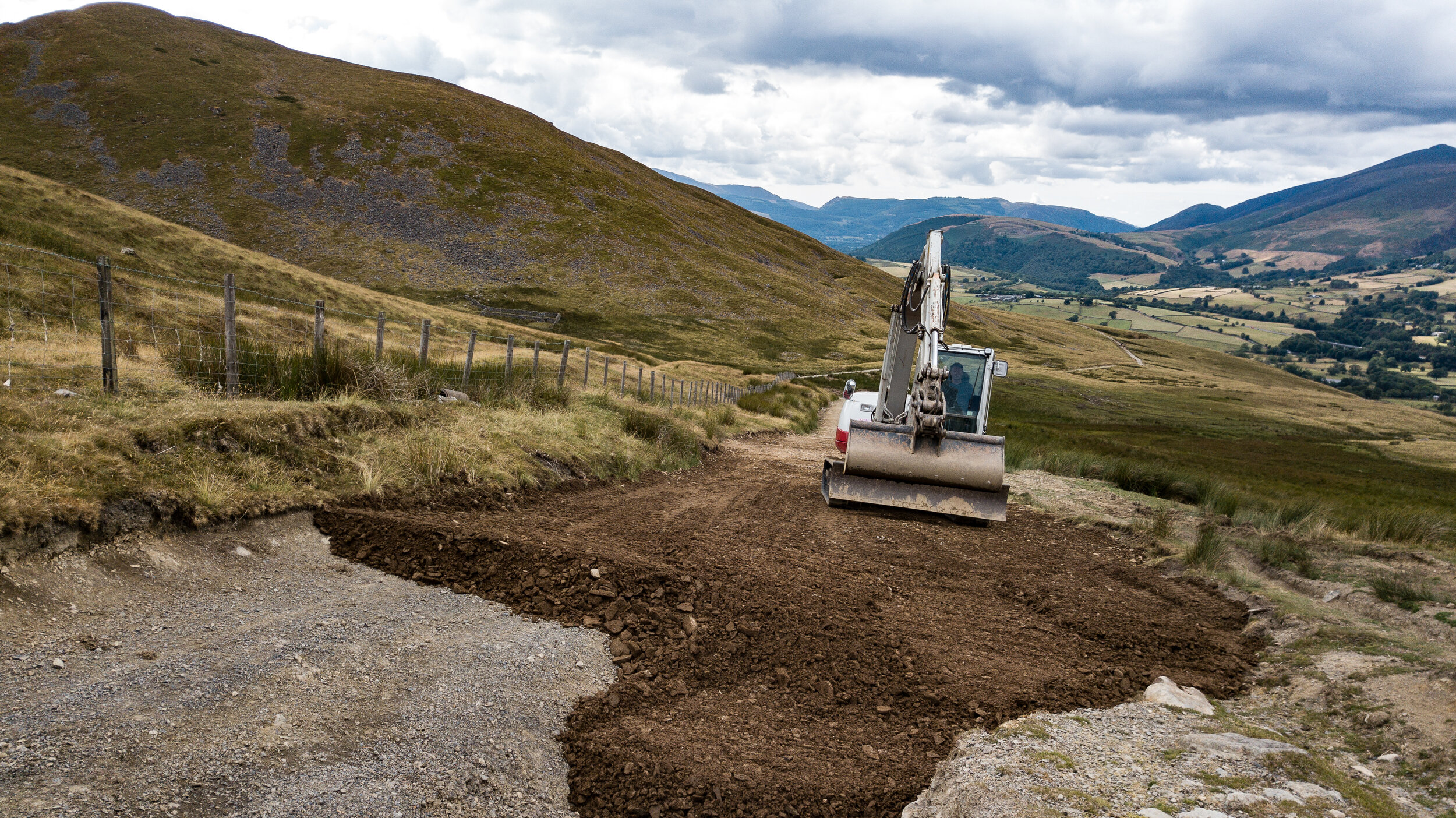
It was significantly damaged during Storm Desmond in December 2015.
The excessive rainfall left the road heavily scarred in several places. On the western end, a trench opened up running down from Hausewell Brow for almost a kilometre adjacent to the sheepfold at the bottom of the descent. (GR 341232 to 333235). On the eastern end, the damage on Hausewell Brow was not as severe or dramatic but a shallower trench opened up along the surface for approx. 1.5 kilometres to Mariel Bridge.
The eastern section between High Row and Mariel Bridge had several large puddles and the drainage gully was blocked for the majority of the route, but the water damage was less severe than at the western end. However, the whole road was suffering from a general lack of maintenance.